Our Story

Traveling down Hwy 89A from Prescott toward Jerome, the founders of Mingus Summit were mapping out a business plan for a full service IT company. Upon approaching the Mingus Summit rest area / picnic site, the time to pick the business’ name had arrived. A short distance down the road the pass opened up a view of things to come. New destinations. New opportunities. The name was apparent.
Mingus Summit
More Than a Name

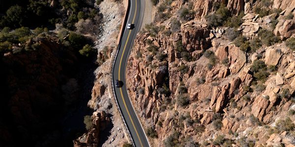
Mingus Summit is a high mountain pass at an elevation of 7,040 feet above the sea level. Located in the Black Hills mountain range, in central Arizona, the pass stretches from Prescott to Jerome. Mingus Summit hosts a rest area / picnic site for people and pets to take a break from the steep, winding road. From Mingus Summit, you can head up a gravel road, Forest Road 104, to the top of Mingus Mountain at an elevation of 7,818 feet above the sea level. The pass offers spectacular views of the Verde Valley, Sedona, Cottonwood, and the San Francisco Peaks. Be sure to take the opportunity to enjoy historic Jerome.
Elevation 7,818 ft (2,383 m) NAVD 88
Prominence 793 ft (242 m)
Coordinates 34°41′38″N 112°07′40″W
Native name Hwa:lkyañaña (Yavapai)
Location Yavapai County, Arizona, U.S.
Parent range Black Hills
Topo map USGS Cottonwood
This website uses cookies.
We use cookies to analyze website traffic and optimize your website experience. By accepting our use of cookies, your data will be aggregated with all other user data.